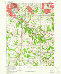
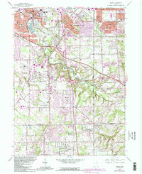
1963 Map of Berea
USGS Topo · Published 1964About this map
Berea and its surrounding townships show a landscape in rapid transition during the early 1960s, where traditional college town life meets post-war suburban expansion. The campus of Baldwin-Wallace College and the industrial presence of a quarry near the Baltimore and Ohio Railroad anchor the north, while to the east, Parma Heights and Parma display the dense, organized residential grids of the era. A significant portion of the landscape is dedicated to public and military use, including the U S Military Reservation and the sprawling green corridors of the Rocky River Reservation and Strongsville Reservation.
Find a feature on this map
60 named features on this map. Tap any name to fly to it.
Don’t see what you’re looking for? This feature index may not catch every label — zoom into the map to look around manually.
Map Details
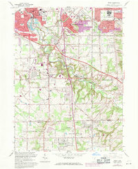
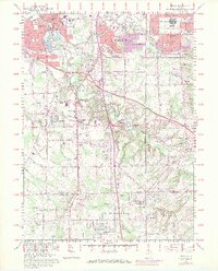
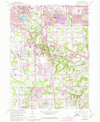
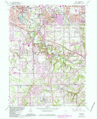
Editions of this 1963 Berea Map
6 editions found
Other maps of this area

1902 · Berea
USGS Topo · 1:62,500

1903 · Cleveland
USGS Topo · 1:62,500

1903 · Akron
USGS Topo · 1:62,500

1904 · Berea
USGS Topo · 1:62,500

1904 · Medina
USGS Topo · 1:62,500

1905 · Akron
USGS Topo · 1:62,500

1906 · Medina
USGS Topo · 1:62,500

1950 · Cleveland
USGS Topo · 1:250,000

1953 · West View
USGS Topo · 1:24,000

1953 · Broadview Heights
USGS Topo · 1:24,000