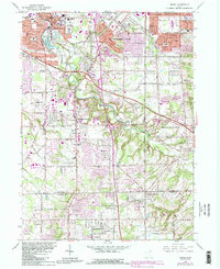
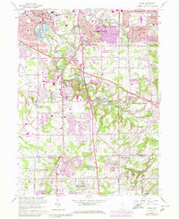
1963 Map of Berea
USGS Topo · Published 1984About this map
The suburban landscape of Southwest Cuyahoga County takes shape in this mid-century survey, centered on the historic academic grounds of Baldwin-Wallace College. Residential expansion is evident in Parma and Parma Heights, while the Rocky River Reservation preserves a natural corridor of forest and water following the East Branch Rocky River. The map captures the post-war transition of Strongsville and North Royalton from rural townships into established bedroom communities, linked by the Ohio Turnpike. Local landmarks such as the Strongsville Airport and the County Fairgrounds provide a sense of the era's regional infrastructure. To the south, the terrain shifts into the Brunswick Hills near Bennetts Corners, where several Oil Wells are noted, highlighting a persistent mineral interest amidst the growing subdivisions. Numerous parochial institutions, including St Marys Sch and St Adalbert Sch, reflect the community's social fabric during this period of significant growth.
Find a feature on this map
61 named features on this map. Tap any name to fly to it.
Don’t see what you’re looking for? This feature index may not catch every label — zoom into the map to look around manually.
Map Details
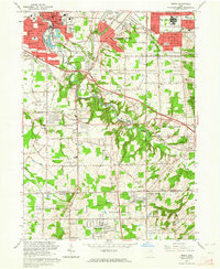
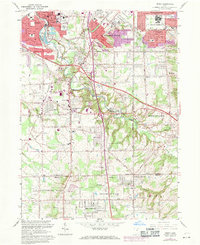
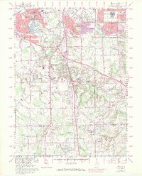
Editions of this 1963 Berea Map
6 editions found
Other maps of this area

1902 · Berea
USGS Topo · 1:62,500

1903 · Cleveland
USGS Topo · 1:62,500

1903 · Akron
USGS Topo · 1:62,500

1904 · Berea
USGS Topo · 1:62,500

1904 · Medina
USGS Topo · 1:62,500

1905 · Akron
USGS Topo · 1:62,500

1906 · Medina
USGS Topo · 1:62,500

1950 · Cleveland
USGS Topo · 1:250,000

1953 · West View
USGS Topo · 1:24,000

1953 · Broadview Heights
USGS Topo · 1:24,000