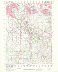
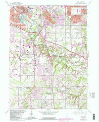
1963 Map of Berea
USGS Topo · Published 1971About this map
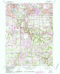
The Baltimore and Ohio Railroad and the Penn Central lines intersect in Berea, a community defined by its early industry and institutional life. The presence of a Quarry and the sprawling campus of Baldwin-Wallace College highlight a period when local sandstone and higher education anchored the local economy. To the south, the landscape transitions from the urban density of Parma Heights and Middleburg Heights toward the more open terrain of Strongsville and North Royalton.
Find a feature on this map
59 named features on this map. Tap any name to fly to it.
Don’t see what you’re looking for? This feature index may not catch every label — zoom into the map to look around manually.
Map Details
Editions of this 1963 Berea Map
6 editions found
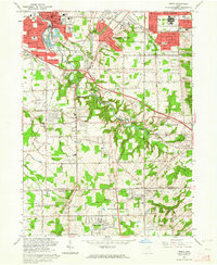
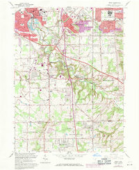
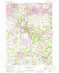
Other maps of this area

1902 · Berea
USGS Topo · 1:62,500

1903 · Cleveland
USGS Topo · 1:62,500

1903 · Akron
USGS Topo · 1:62,500

1904 · Berea
USGS Topo · 1:62,500

1904 · Medina
USGS Topo · 1:62,500

1905 · Akron
USGS Topo · 1:62,500

1906 · Medina
USGS Topo · 1:62,500

1950 · Cleveland
USGS Topo · 1:250,000

1953 · West View
USGS Topo · 1:24,000

1953 · Broadview Heights
USGS Topo · 1:24,000