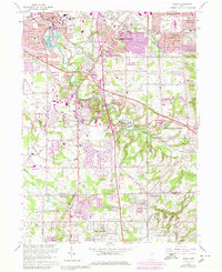
1963 Map of Berea
USGS Topo · Published 1980About this map
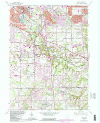
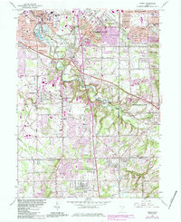
Baldwin-Wallace College serves as a focal point for the city of Berea on this map, showing the area's development through the late 1970s. The landscape is defined by the winding course of the Rocky River and its extensive Rocky River Reservation, which provides a natural buffer between the expanding suburban grids of Strongsville, Middleburg Heights, and North Royalton. Major transportation corridors like the Ohio Turnpike and the Baltimore and Ohio railroad intersect the terrain, illustrating the region's importance as a transit hub south of Lake Erie.
Find a feature on this map
74 named features on this map. Tap any name to fly to it.
Don’t see what you’re looking for? This feature index may not catch every label — zoom into the map to look around manually.
Map Details
Editions of this 1963 Berea Map
6 editions found
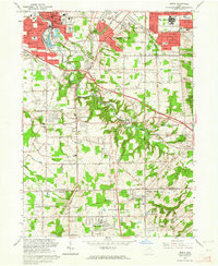
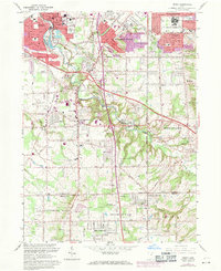
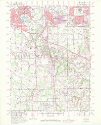
Other maps of this area

1902 · Berea
USGS Topo · 1:62,500

1903 · Cleveland
USGS Topo · 1:62,500

1903 · Akron
USGS Topo · 1:62,500

1904 · Berea
USGS Topo · 1:62,500

1904 · Medina
USGS Topo · 1:62,500

1905 · Akron
USGS Topo · 1:62,500

1906 · Medina
USGS Topo · 1:62,500

1950 · Cleveland
USGS Topo · 1:250,000

1953 · West View
USGS Topo · 1:24,000

1953 · Broadview Heights
USGS Topo · 1:24,000