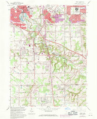
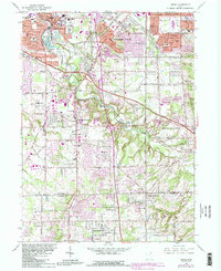
1963 Map of Berea
USGS Topo · Published 1971About this map
Baldwin-Wallace College and the County Fairgrounds anchor the bustling street grid of Berea, where the Penn Central and Baltimore and Ohio railroads converge near the sandstone quarries. To the south and east, the landscape transitions into the suburban developments of Strongsville and North Royalton, punctuated by local landmarks like the Strongsville Air Park and numerous parochial schools including St Adalbert Sch and St Bartholomew Sch.
Find a feature on this map
63 named features on this map. Tap any name to fly to it.
Don’t see what you’re looking for? This feature index may not catch every label — zoom into the map to look around manually.
Map Details
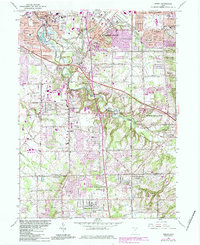
Editions of this 1963 Berea Map
6 editions found
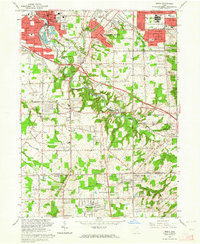
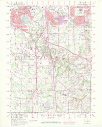
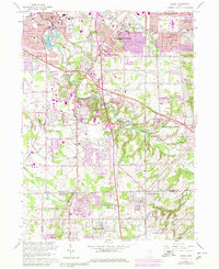
Other maps of this area

1902 · Berea
USGS Topo · 1:62,500

1903 · Cleveland
USGS Topo · 1:62,500

1903 · Akron
USGS Topo · 1:62,500

1904 · Berea
USGS Topo · 1:62,500

1904 · Medina
USGS Topo · 1:62,500

1905 · Akron
USGS Topo · 1:62,500

1906 · Medina
USGS Topo · 1:62,500

1950 · Cleveland
USGS Topo · 1:250,000

1953 · West View
USGS Topo · 1:24,000

1953 · Broadview Heights
USGS Topo · 1:24,000