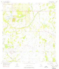
1956 Map of Bereah
USGS Topo · Published 1974About this map
Mining operations and rural church communities define this central Florida landscape during the mid-1950s. The northern portion of the map is dominated by extractive industry, notably the Old Colony Mine (Inactive) with its associated Tailings Ponds, a Strip Mine, and a Borrow Pit. These features indicate the early development of Florida's phosphate district, which reshaped the local topography even as traditional landmarks remained intact.
Find a feature on this map
16 named features on this map. Tap any name to fly to it.
Don’t see what you’re looking for? This feature index may not catch every label — zoom into the map to look around manually.
Map Details
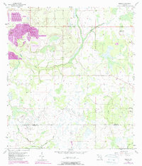
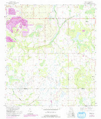
Editions of this 1956 Bereah Map
4 editions found
Other maps of this area

1952 · Homeland
USGS Topo · 1:24,000

1952 · Babson Park
USGS Topo · 1:24,000

1953 · Frostproof
USGS Topo · 1:24,000

1953 · Avon Park
USGS Topo · 1:24,000

1955 · Bowling Green
USGS Topo · 1:24,000

1955 · Wauchula
USGS Topo · 1:24,000

1955 · Alturas
USGS Topo · 1:24,000

1956 · Bereah
USGS Topo · 1:24,000

1956 · Griffins Corner
USGS Topo · 1:24,000

1956 · Fort Pierce
USGS Topo · 1:250,000