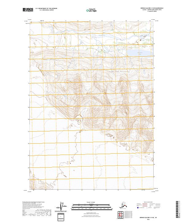
2024 Map of Bering Glacier C-5 NE
USGS Topo · Published 2024About this map
The Wrangell-St. Elias Wilderness dominates this portion of the Saint Elias Mountains, where the landscape is defined by high-elevation ridges and glacial drainages. To the north, Granite Creek and Twelvemile Creek weave through the terrain, while Thompson Ridge stands as a prominent topographical feature in the western half of the quadrangle. The presence of Ross Green Lake in the northeast corner provides a rare point of standing water amidst the complex relief. This survey, grounded in the 2024 edition, reflects the enduring character of one of the most protected and remote wilderness areas in Alaska, primarily capturing natural hydrology and mountain systems without the intrusion of modern road networks.
Find a feature on this map
10 named features on this map. Tap any name to fly to it.
Don’t see what you’re looking for? This feature index may not catch every label — zoom into the map to look around manually.
Map Details
Editions of this 2024 Bering Glacier C-5 NE Map
This is the sole edition of this map. No revisions or reprints were ever made.
Other maps of this area

1950 · Bering Glacier
USGS Topo · 1:250,000

1951 · Bering Glacier
USGS Topo · 1:250,000

1959 · Bering Glacier
USGS Topo · 1:250,000

1984 · Bering Glacier D-4
USGS Topo · 1:63,360

1984 · Bering Glacier D-5
USGS Topo · 1:63,360
1985 · Bering Glacier C-5
USGS Topo · 1:63,360
1985 · Bering Glacier C-4
USGS Topo · 1:63,360
2016 · Bering Glacier D-5 SW
USGS Topo · 1:25,000
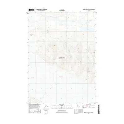
2016 · Bering Glacier C-5 NE
USGS Topo · 1:25,000
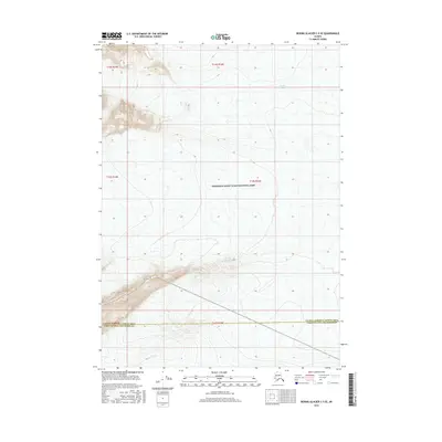
2016 · Bering Glacier C-5 SE
USGS Topo · 1:25,000