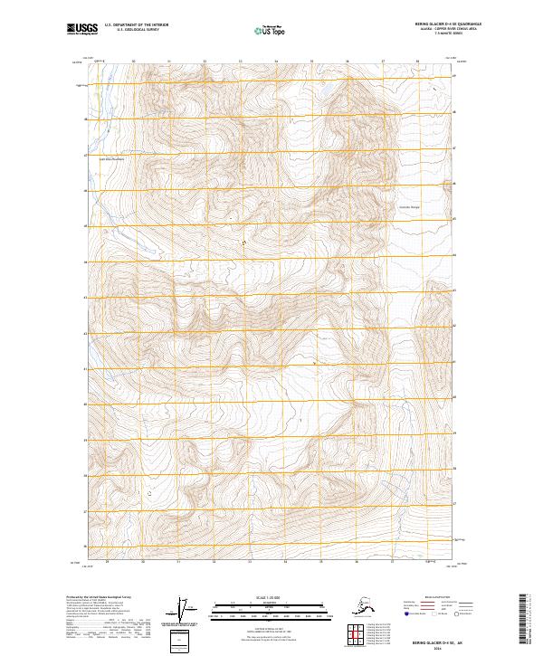
2024 Map of Bering Glacier D-4 SE
USGS Topo · Published 2024About this map
The Saint Elias Mountains dominate this high-elevation wilderness in southeast Alaska, where jagged ridgelines and steep drainages define the landscape. Centered within the protected Wrangell-St Elias Wilderness, the area showcases a stark natural environment largely untouched by modern infrastructure. Along the western edge, the Kiagna River cuts through the mountainous terrain, while the Granite Range rises to the east, providing a distinct topographical boundary. This 2024 survey documents a region defined by its extreme relief and glacial legacy, offering a precise view of the summits and valleys that characterize one of the most remote sections of the American Northwest.
Find a feature on this map
10 named features on this map. Tap any name to fly to it.
Don’t see what you’re looking for? This feature index may not catch every label — zoom into the map to look around manually.
Map Details
Editions of this 2024 Bering Glacier D-4 SE Map
This is the sole edition of this map. No revisions or reprints were ever made.
Other maps of this area

1950 · Bering Glacier
USGS Topo · 1:250,000

1951 · Bering Glacier
USGS Topo · 1:250,000

1959 · Bering Glacier
USGS Topo · 1:250,000

1984 · Bering Glacier D-4
USGS Topo · 1:63,360
1984 · Bering Glacier D-3
USGS Topo · 1:63,360
1985 · Bering Glacier C-4
USGS Topo · 1:63,360
1985 · Bering Glacier C-3
USGS Topo · 1:63,360
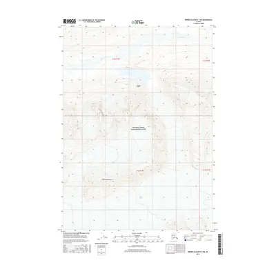
2016 · Bering Glacier C-4 NE
USGS Topo · 1:25,000
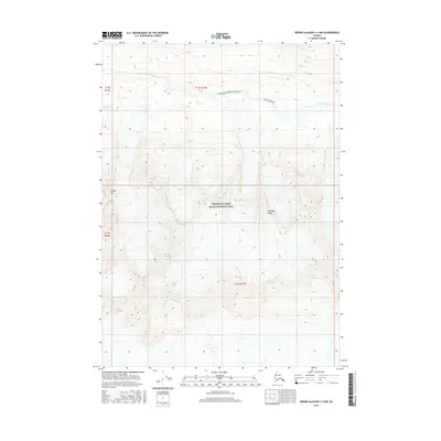
2016 · Bering Glacier C-4 NW
USGS Topo · 1:25,000
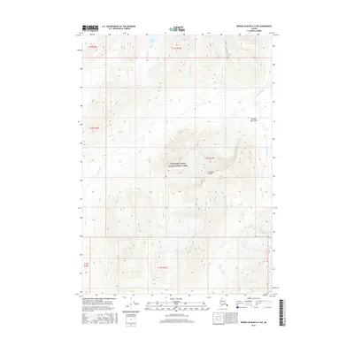
2016 · Bering Glacier D-4 SW
USGS Topo · 1:25,000