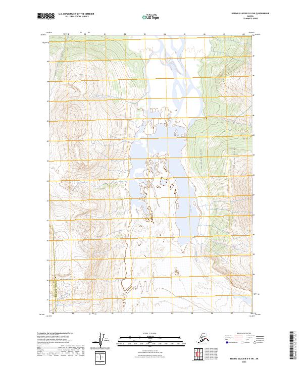
2024 Map of Bering Glacier D-5 SW
USGS Topo · Published 2024About this map
Saint Elias Mountains and the Chugach Mountains converge in this high-altitude landscape of the southeastern Alaskan wilderness. The Tana River dominates the central valley, showing an intricate braided drainage pattern characteristic of glacial runoff as it flows south through the Wrangell-St Elias Wilderness. Along the eastern edge, the Granite Range rises steeply above Granite Creek, defining a landscape where geological forces and shifting water levels dictate the terrain. The boundary between the Chugach Census Area and the Copper River Census Area cuts through the southwest, marking a administrative divide across an otherwise undeveloped wilderness. This contemporary survey tracks the shifting hydrography of the river valley and the enduring prominence of the surrounding peaks.
Find a feature on this map
7 named features on this map. Tap any name to fly to it.
Don’t see what you’re looking for? This feature index may not catch every label — zoom into the map to look around manually.
Map Details
Editions of this 2024 Bering Glacier D-5 SW Map
This is the sole edition of this map. No revisions or reprints were ever made.
Other maps of this area

1950 · Bering Glacier
USGS Topo · 1:250,000

1951 · Bering Glacier
USGS Topo · 1:250,000

1959 · Bering Glacier
USGS Topo · 1:250,000
1984 · Bering Glacier D-6
USGS Topo · 1:63,360

1984 · Bering Glacier D-5
USGS Topo · 1:63,360
1985 · Bering Glacier C-5
USGS Topo · 1:63,360
1985 · Bering Glacier C-6
USGS Topo · 1:63,360
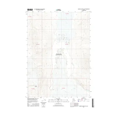
2016 · Bering Glacier D-5 SW
USGS Topo · 1:25,000
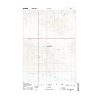
2016 · Bering Glacier D-6 NE
USGS Topo · 1:25,000
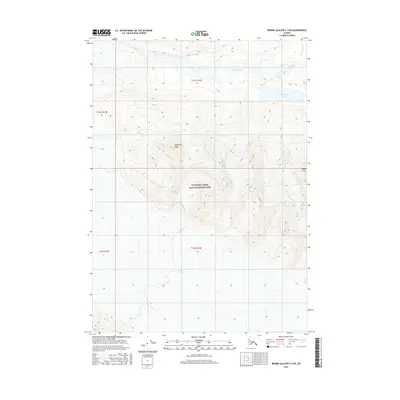
2016 · Bering Glacier C-5 NE
USGS Topo · 1:25,000