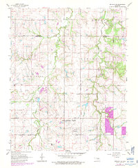
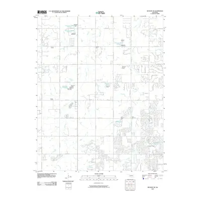
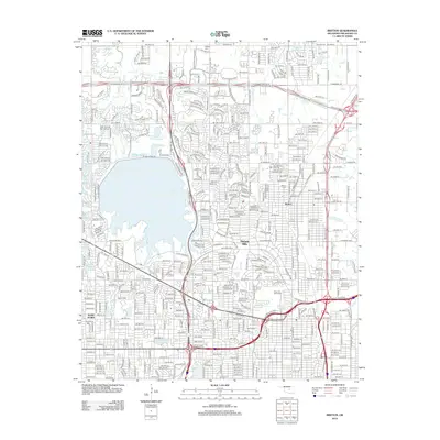
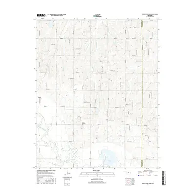
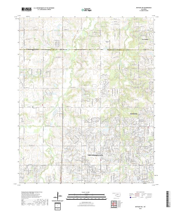
1966 Map of Bethany NE
USGS Topo · Published 1983About this map
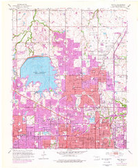
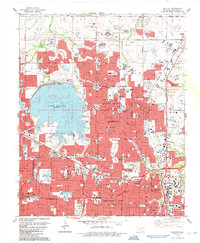
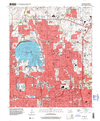
The border of Logan and Oklahoma counties defines the northern reaches of this mid-century survey, capturing a landscape transitioning from rural oil production to suburban expansion. The western half of the map is dominated by the West Edmond Deer Creek Field, where numerous Oil Wells and a Gas Processing Plant signify the region's energy-based economy. These industrial sites sit alongside established community markers like Christner Cem, Whistler Cem, and the Deer Creek School.
Find a feature on this map
29 named features on this map. Tap any name to fly to it.
Don’t see what you’re looking for? This feature index may not catch every label — zoom into the map to look around manually.
Map Details
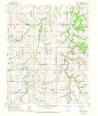
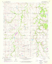
Editions of this 1966 Bethany NE Map
Historical Maps of Oklahoma City Through Time
21 maps found
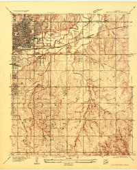
1934 Crutcho Creek
Oklahoma County, OK
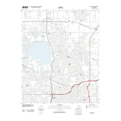
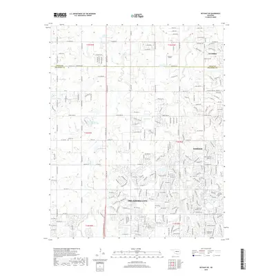
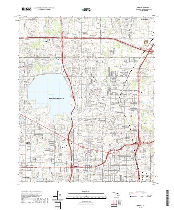
1951 Britton
Oklahoma County, OK
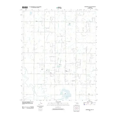
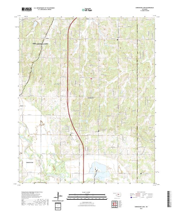
1956 Horseshoe Lake
Oklahoma County, OK
1966 Bethany NE
Oklahoma County, OK
1986 Britton
Oklahoma County, OK
1995 Britton
Oklahoma County, OK
2009 Bethany NE
Oklahoma County, OK
2010 Britton
Oklahoma County, OK
2010 Horseshoe Lake
Oklahoma County, OK
2012 Bethany NE
Oklahoma County, OK
2012 Britton
Oklahoma County, OK
2013 Horseshoe Lake
Oklahoma County, OK
2016 Bethany NE
Oklahoma County, OK
2016 Britton
Oklahoma County, OK
2016 Horseshoe Lake
Oklahoma County, OK
2018 Bethany NE
Oklahoma County, OK
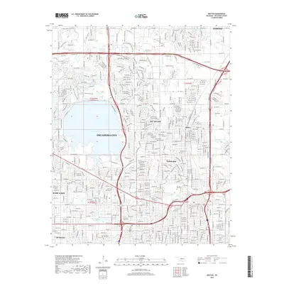
2018 Britton
Oklahoma County, OK
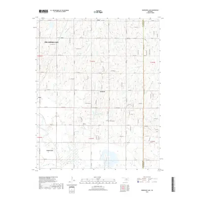
2018 Horseshoe Lake
Oklahoma County, OK
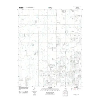
2022 Bethany NE
Oklahoma County, OK
2022 Britton
Oklahoma County, OK
2022 Horseshoe Lake
Oklahoma County, OK