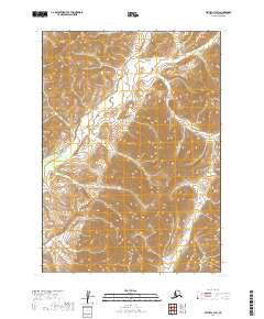
2019 Map of Bethel C-3 SW
USGS Topo · Published 2019About this map
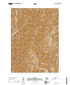
Quartz Cr and Swift Cr define the drainage patterns of this Alaskan interior landscape within the Bethel Census Area. The topography is characterized by a series of prominent ridges and deep valleys, mapped in high detail by the U.S. Geological Survey. This 2019 survey documents the vast, uninhabited terrain between Township 6 North, Range 62 West and Township 5 North, Range 61 West. The lack of man-made infrastructure, such as roads or buildings, highlights the wilderness character of the region. Local researchers and geologists can use this data to understand the complex contour intervals and hydrological flow of the creeks as they move through the Kuskokwim River watershed area.
Find a feature on this map
6 named features on this map. Tap any name to fly to it.
Don’t see what you’re looking for? This feature index may not catch every label — zoom into the map to look around manually.
Map Details
Editions of this 2019 Bethel C-3 SW Map
This is the sole edition of this map. No revisions or reprints were ever made.
Other maps of this area

1950 · Bethel
USGS Topo · 1:250,000

1954 · Bethel C-4
USGS Topo · 1:63,360

1954 · Bethel C-3
USGS Topo · 1:63,360

1954 · Bethel B-3
USGS Topo · 1:63,360

1954 · Bethel B-4
USGS Topo · 1:63,360

1980 · Bethel
USGS Topo · 1:250,000
2017 · Bethel B-4 NE
USGS Topo · 1:25,000
2017 · Bethel C-4 SE
USGS Topo · 1:25,000
2017 · Bethel C-4 NE
USGS Topo · 1:25,000
2019 · Bethel C-3 SE
USGS Topo · 1:25,000