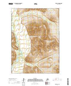
2017 Map of Bethel C-4 NE
USGS Topo · Published 2017About this map
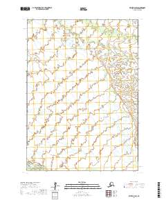
Kisaralik River meanders through the western portion of this 2017 survey, defining the drainage patterns of the Bethel Census Area. The terrain is characterized by complex elevation contours that separate the river valley from several upland ridges. Tributaries such as Nukluk Cr in the north and Clear Cr in the south intersect the landscape, illustrating the hydrological network that feeds the Kisaralik. This area is divided by several township and range lines, including t7n r62w and t7n r63w, which provide a formal grid over the natural topography. The concentration of water bodies and the sharp relief of the unnamed peaks suggest a territory defined by seasonal flow and significant elevation changes, typical of the subarctic interior.
Find a feature on this map
9 named features on this map. Tap any name to fly to it.
Don’t see what you’re looking for? This feature index may not catch every label — zoom into the map to look around manually.
Map Details
Editions of this 2017 Bethel C-4 NE Map
This is the sole edition of this map. No revisions or reprints were ever made.
Other maps of this area

1950 · Bethel
USGS Topo · 1:250,000

1954 · Bethel D-4
USGS Topo · 1:63,360

1954 · Bethel C-4
USGS Topo · 1:63,360

1954 · Bethel C-3
USGS Topo · 1:63,360

1954 · Bethel D-3
USGS Topo · 1:63,360

1980 · Bethel
USGS Topo · 1:250,000
2017 · Bethel C-4 SW
USGS Topo · 1:25,000
2017 · Bethel C-4 NW
USGS Topo · 1:25,000
2017 · Bethel C-4 SE
USGS Topo · 1:25,000
2017 · Bethel D-4 SW
USGS Topo · 1:25,000