
1954 Map of Bethel C-8
USGS Topo · Published 1965About this map
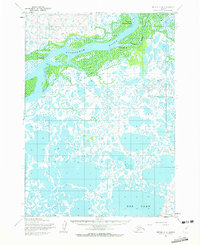
Napakiak and Oscarville anchor the northern reaches of this mid-century survey, situated along the complex braids of the Kuskokwim River. The landscape is dominated by a sprawling network of wetlands, where the river's influence is seen in extensive Tidal Flat zones and unnamed sloughs. Farther south, the vast expanse of Eek Lake stands out as a primary geographic landmark in a terrain otherwise defined by thousands of small ponds and interconnected waterways. Human passage through this environment is marked by the Winter Trail, reflecting the seasonal nature of travel in the Yukon-Kuskokwim Delta. Small outposts and seasonal sites like Napaiskak and Willie Petes appear near Graveyard Point, providing critical points of reference for genealogists and researchers tracing the history of indigenous settlements and river commerce in the region during the 1950s.
Find a feature on this map
10 named features on this map. Tap any name to fly to it.
Don’t see what you’re looking for? This feature index may not catch every label — zoom into the map to look around manually.
Map Details
Editions of this 1954 Bethel C-8 Map
2 editions found
Other maps of this area

1950 · Bethel
USGS Topo · 1:250,000

1951 · Baird Inlet
USGS Topo · 1:250,000

1954 · Bethel D-8
USGS Topo · 1:63,360

1954 · Bethel D-7
USGS Topo · 1:63,360

1954 · Bethel B-7
USGS Topo · 1:63,360

1954 · Bethel B-8
USGS Topo · 1:63,360
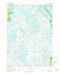
1954 · Bethel C-7
USGS Topo · 1:63,360

1954 · Baird Inlet
USGS Topo · 1:250,000

1954 · Baird Inlet B-1
USGS Topo · 1:63,360
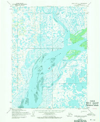
1954 · Baird Inlet C-1
USGS Topo · 1:63,360