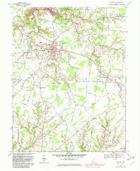
1968 Map of Bethel
USGS Topo · Published 1982About this map
Bethel serves as the central hub of this Clermont County landscape, showing the town's layout shortly before significant reservoir developments altered the northern horizon. The village is well-documented with its Auditorium, Fire Sta, and Bethel-Tate High Sch, surrounded by generational landmarks like the Bethel Cemetery. To the north, the emergence of the William H Harsha Lake and the establishment of East Fork State Park signify a major transition from agricultural valley to managed recreation area along the East Fork Little Miami River.
Find a feature on this map
72 named features on this map. Tap any name to fly to it.
Don’t see what you’re looking for? This feature index may not catch every label — zoom into the map to look around manually.
Map Details
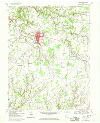
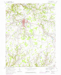
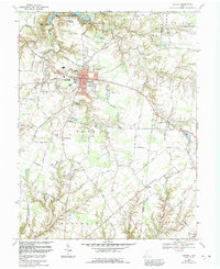
Editions of this 1968 Bethel Map
4 editions found
Other maps of this area

1914 · Batavia
USGS Topo · 1:48,000

1916 · Batavia
USGS Topo · 1:62,500

1917 · Sardinia
USGS Topo · 1:62,500

1928 · Higginsport
USGS Topo · 1:48,000

1931 · Felicity
USGS Topo · 1:62,500

1931 · Higginsport
USGS Topo · 1:62,500

1944 · Sardinia
USGS Topo · 1:62,500

1947 · Columbus
USGS Topo · 1:250,000

1952 · Higginsport
USGS Topo · 1:24,000

1953 · Laurel
USGS Topo · 1:24,000