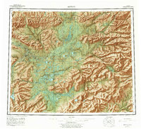
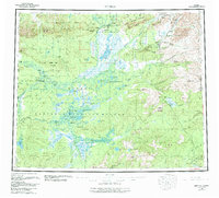
1956 Map of Bettles
USGS Topo · Published 1978About this map
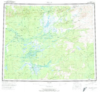
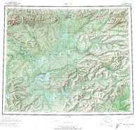
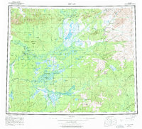
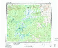
The Arctic Circle crosses this mid-century landscape of the central Brooks Range foothills, where the Koyukuk River and its tributaries define the pattern of human activity. The settlement of Bettles sits at the confluence of the John River, serving as a hub near Evansville and the Radio Towers at the base of Lookout Mtn. Downstream, the mission and native villages of Allakaket and Alatna are situated across from one another on a bend in the river, reflecting the region's enduring river-based transport network before the dominance of modern roads.
Find a feature on this map
102 named features on this map. Tap any name to fly to it.
Don’t see what you’re looking for? This feature index may not catch every label — zoom into the map to look around manually.
Map Details
Editions of this 1956 Bettles Map
10 editions found

Other maps of this area

1945 · Livengood
USGS Topo · 1:250,000

1951 · Hughes
USGS Topo · 1:250,000

1951 · Melozitna
USGS Topo · 1:250,000

1951 · Bettles
USGS Topo · 1:250,000

1951 · Survey Pass
USGS Topo · 1:250,000

1951 · Tanana
USGS Topo · 1:250,000

1951 · Chandalar
USGS Topo · 1:250,000

1951 · Livengood
USGS Topo · 1:250,000

1951 · Beaver
USGS Topo · 1:250,000

1951 · Wiseman
USGS Topo · 1:250,000