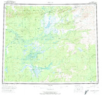
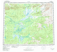
1956 Map of Bettles
USGS Topo · Published 1974About this map
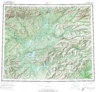
Bettles and Evansville serve as the primary hubs for this Interior Alaska landscape, situated where the John River meets the Koyukuk River. The settlement pattern reflects a reliance on river travel and seasonal routes, evidenced by the numerous subsistence outposts such as Henshaw Cabin, Oscars Cabin, and Black Jack Cabin scattered along the drainages. Further downstream, the neighboring villages of Allakaket and Alatna sit opposite each other on the riverbank, near a Landing Area and a local Cem.
Find a feature on this map
83 named features on this map. Tap any name to fly to it.
Don’t see what you’re looking for? This feature index may not catch every label — zoom into the map to look around manually.
Map Details
Editions of this 1956 Bettles Map
10 editions found

Other maps of this area

1945 · Livengood
USGS Topo · 1:250,000

1951 · Hughes
USGS Topo · 1:250,000

1951 · Melozitna
USGS Topo · 1:250,000

1951 · Bettles
USGS Topo · 1:250,000

1951 · Survey Pass
USGS Topo · 1:250,000

1951 · Tanana
USGS Topo · 1:250,000

1951 · Chandalar
USGS Topo · 1:250,000

1951 · Livengood
USGS Topo · 1:250,000

1951 · Beaver
USGS Topo · 1:250,000

1951 · Wiseman
USGS Topo · 1:250,000