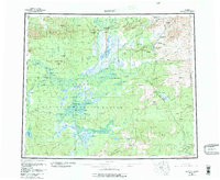
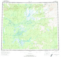
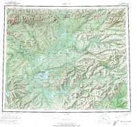
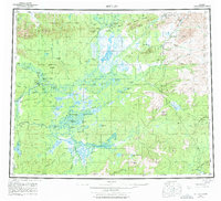
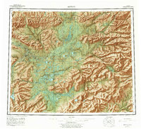
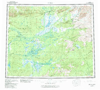
1956 Map of Bettles
USGS Topo · Published 1984About this map
The Arctic Circle crosses through this interior landscape, a region defined by the expansive Kanuti Flats and the meandering path of the Koyukuk River. Significant for aviation and logistics in the bush, the map details the river-based settlement of Bettles and its proximity to Evansville, alongside vital infrastructure like the Prospect Creek Landing Strip. The presence of Oscars Cabin, Black Jack Cabin, and Henshaw Cabin suggests the legacy of remote trapping and prospecting life in the mid-20th century.
Find a feature on this map
77 named features on this map. Tap any name to fly to it.
Don’t see what you’re looking for? This feature index may not catch every label — zoom into the map to look around manually.
Map Details
Editions of this 1956 Bettles Map
10 editions found

Other maps of this area

1945 · Livengood
USGS Topo · 1:250,000

1951 · Hughes
USGS Topo · 1:250,000

1951 · Melozitna
USGS Topo · 1:250,000

1951 · Bettles
USGS Topo · 1:250,000

1951 · Survey Pass
USGS Topo · 1:250,000

1951 · Tanana
USGS Topo · 1:250,000

1951 · Chandalar
USGS Topo · 1:250,000

1951 · Livengood
USGS Topo · 1:250,000

1951 · Beaver
USGS Topo · 1:250,000

1951 · Wiseman
USGS Topo · 1:250,000