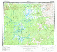
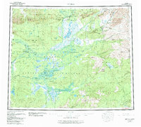
1956 Map of Bettles
USGS Topo · Published 1977About this map
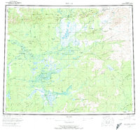
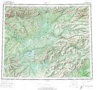
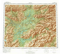
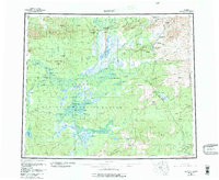
The Arctic Circle cuts directly through this remote interior landscape, where the Alatna River and Koyukuk River converge near the established settlements of Bettles and Evansville. By the mid-1950s, this region was a critical nexus for northern transport, evidenced by the Winter Road and various Winter Trails that provided the only overland access during the frozen months. Further east, the Jim River valley shows early signs of industrial expansion with the Prospect Creek Camp, while the Gold Bench Mine remains a testament to the area's mineral prospects.
Find a feature on this map
87 named features on this map. Tap any name to fly to it.
Don’t see what you’re looking for? This feature index may not catch every label — zoom into the map to look around manually.
Map Details
Editions of this 1956 Bettles Map
10 editions found

Other maps of this area

1945 · Livengood
USGS Topo · 1:250,000

1951 · Hughes
USGS Topo · 1:250,000

1951 · Melozitna
USGS Topo · 1:250,000

1951 · Bettles
USGS Topo · 1:250,000

1951 · Survey Pass
USGS Topo · 1:250,000

1951 · Tanana
USGS Topo · 1:250,000

1951 · Chandalar
USGS Topo · 1:250,000

1951 · Livengood
USGS Topo · 1:250,000

1951 · Beaver
USGS Topo · 1:250,000

1951 · Wiseman
USGS Topo · 1:250,000