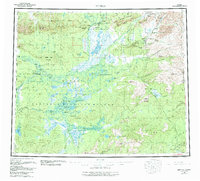
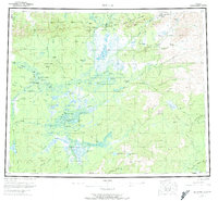
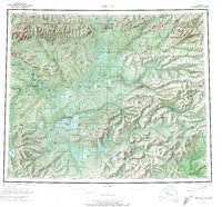
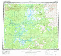
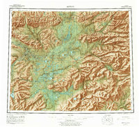
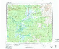
1956 Map of Bettles
USGS Topo · Published 1984About this map
Bettles and Evansville sit at the northern edge of this Interior Alaska landscape, positioned along the Koyukuk River where it meets the John River. This mid-century survey, updated in the 1980s, reveals a network of waterways and early transport routes vital to the region's connectivity. The Dalton Highway cuts through the eastern portion, accompanied by Pump Sta. 5, illustrating the development of the trans-Alaska pipeline corridor.
Find a feature on this map
80 named features on this map. Tap any name to fly to it.
Don’t see what you’re looking for? This feature index may not catch every label — zoom into the map to look around manually.
Map Details
Editions of this 1956 Bettles Map
10 editions found

Other maps of this area

1945 · Livengood
USGS Topo · 1:250,000

1951 · Hughes
USGS Topo · 1:250,000

1951 · Melozitna
USGS Topo · 1:250,000

1951 · Bettles
USGS Topo · 1:250,000

1951 · Survey Pass
USGS Topo · 1:250,000

1951 · Tanana
USGS Topo · 1:250,000

1951 · Chandalar
USGS Topo · 1:250,000

1951 · Livengood
USGS Topo · 1:250,000

1951 · Beaver
USGS Topo · 1:250,000

1951 · Wiseman
USGS Topo · 1:250,000