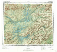
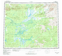
1956 Map of Bettles
USGS Topo · Published 1965About this map
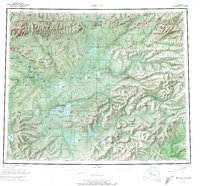
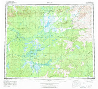
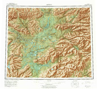
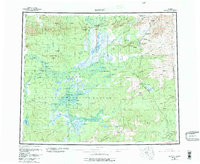
The Arctic Circle crosses this mid-century landscape of the Brooks Range foothills, where the John River meets the Koyukuk River. Central to the region is Bettles and the neighboring settlement of Evansville, served by the Evansville Airport. To the west, the twin villages of Alatna and Allakaket sit across from one another on the riverbanks, with the Alatna Cem located nearby. The map illustrates a transitional period for interior Alaska, where the traditional Winter Trail network and remote outposts like Oscars Cabin and Henshaw Cabin remained vital for navigation. Resource extraction is evident at the Gold Bench Mine and Ironsides Bar Mine, while the physical geography is defined by the Endicott Range, the depths of Kanuti Canyon, and numerous lake systems such as Olawanmenka Lake.
Find a feature on this map
101 named features on this map. Tap any name to fly to it.
Don’t see what you’re looking for? This feature index may not catch every label — zoom into the map to look around manually.
Map Details
Editions of this 1956 Bettles Map
10 editions found

Other maps of this area

1945 · Livengood
USGS Topo · 1:250,000

1951 · Hughes
USGS Topo · 1:250,000

1951 · Melozitna
USGS Topo · 1:250,000

1951 · Bettles
USGS Topo · 1:250,000

1951 · Survey Pass
USGS Topo · 1:250,000

1951 · Tanana
USGS Topo · 1:250,000

1951 · Chandalar
USGS Topo · 1:250,000

1951 · Livengood
USGS Topo · 1:250,000

1951 · Beaver
USGS Topo · 1:250,000

1951 · Wiseman
USGS Topo · 1:250,000