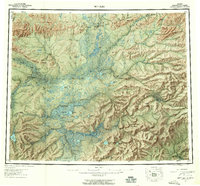
1956 Map of Bettles
USGS Topo · Published 1958About this map
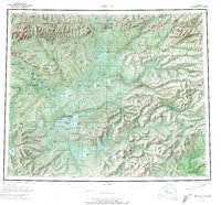
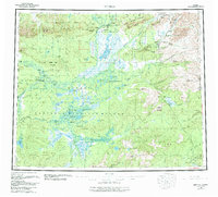
Bettles and Evansville serve as northern hubs along the John River in this mid-century survey of the Koyukuk region. The landscape is defined by the intersection of the Arctic Circle with a network of winter trails and remote outposts, including Oscars Cabin and Black Jack Cabin. Mining history is visible in the northeast at Gold Bench Mine and Ironsides Bar Mine near the Jim River, reflecting a period when small-scale extraction and subsistence trapping were the primary drivers of settlement. The map documents the critical role of aviation and seasonal transport, anchoring the region with the Bettles Field Airport and several Winter Trails that connect the isolated villages of Allakaket and Alatna to the broader interior. Extensive wetlands and lakes like Sithylemenkat Lake dominate the central lowlands, flanked by the high elevations of the Bettles Range and Caribou Mountain.
Find a feature on this map
115 named features on this map. Tap any name to fly to it.
Don’t see what you’re looking for? This feature index may not catch every label — zoom into the map to look around manually.
Map Details
Editions of this 1956 Bettles Map
10 editions found

Other maps of this area

1945 · Livengood
USGS Topo · 1:250,000

1951 · Hughes
USGS Topo · 1:250,000

1951 · Melozitna
USGS Topo · 1:250,000

1951 · Bettles
USGS Topo · 1:250,000

1951 · Survey Pass
USGS Topo · 1:250,000

1951 · Tanana
USGS Topo · 1:250,000

1951 · Chandalar
USGS Topo · 1:250,000

1951 · Livengood
USGS Topo · 1:250,000

1951 · Beaver
USGS Topo · 1:250,000

1951 · Wiseman
USGS Topo · 1:250,000