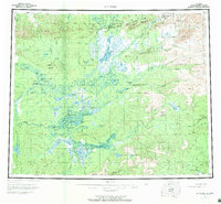
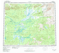
1956 Map of Bettles
USGS Topo · Published 1970About this map
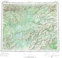
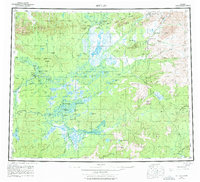
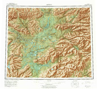
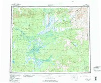
The Arctic Circle bisects this landscape where the Koyukuk River and its numerous tributaries weave through the expansive Kanuti Flats. During the mid-1950s, Bettles and Evansville (Bettles Field PO) served as critical interior hubs, supported by the Landplane Airport and a Gravel Pit. The map captures a transition from water-based travel to early aviation, with the river systems defining the settlement patterns for villages like Allakaket.
Find a feature on this map
88 named features on this map. Tap any name to fly to it.
Don’t see what you’re looking for? This feature index may not catch every label — zoom into the map to look around manually.
Map Details
Editions of this 1956 Bettles Map
10 editions found

Other maps of this area

1945 · Livengood
USGS Topo · 1:250,000

1951 · Hughes
USGS Topo · 1:250,000

1951 · Melozitna
USGS Topo · 1:250,000

1951 · Bettles
USGS Topo · 1:250,000

1951 · Survey Pass
USGS Topo · 1:250,000

1951 · Tanana
USGS Topo · 1:250,000

1951 · Chandalar
USGS Topo · 1:250,000

1951 · Livengood
USGS Topo · 1:250,000

1951 · Beaver
USGS Topo · 1:250,000

1951 · Wiseman
USGS Topo · 1:250,000