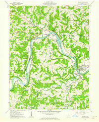
1961 Map of Beverly
USGS Topo · Published 1962About this map
The Muskingum River dominates this early 1960s landscape, carving a deep valley through the hills of Washington and Morgan Counties. Along its banks, the Baltimore and Ohio railroad line connects a series of riverfront settlements including Swift, Luke Chute, and Brokaw, illustrating a transit-oriented economy before the full shift to modern highways. The twin villages of Beverly and Waterford serve as the primary hubs, where the Fort Frye Sch and various municipal water pumps are situated near the river’s bend.
Find a feature on this map
74 named features on this map. Tap any name to fly to it.
Don’t see what you’re looking for? This feature index may not catch every label — zoom into the map to look around manually.
Map Details
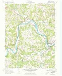
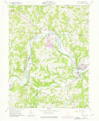
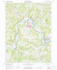
Editions of this 1961 Beverly Map
4 editions found
Other maps of this area

1902 · Parkersburg
USGS Topo · 1:62,500

1904 · Parkersburg
USGS Topo · 1:62,500

1904 · Chesterhill
USGS Topo · 1:62,500

1906 · Chesterhill
USGS Topo · 1:62,500

1909 · Caldwell
USGS Topo · 1:62,500

1910 · Mc Connelsville
USGS Topo · 1:62,500

1912 · Caldwell
USGS Topo · 1:62,500

1949 · Clarksburg
USGS Topo · 1:250,000

1956 · Clarksburg
USGS Topo · 1:250,000

1960 · Watertown
USGS Topo · 1:24,000