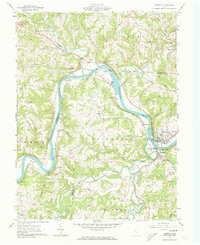
1961 Map of Beverly
USGS Topo · Published 1973About this map
The Muskingum River winds through this 1961 survey, serving as a primary corridor for industry and settlement on the border of Morgan and Washington counties. In the southeast corner, the neighboring communities of Beverly and Waterford anchor the local economy, supported by the Baltimore and Ohio Railroad and infrastructure such as a powerplant and water pumps along the riverbank. Further north, the landscape transitions into agricultural and resource-based districts like Meigsville and Moscow Mills, where the presence of Mill Grove suggests an earlier era of water-powered industry.
Find a feature on this map
69 named features on this map. Tap any name to fly to it.
Don’t see what you’re looking for? This feature index may not catch every label — zoom into the map to look around manually.
Map Details
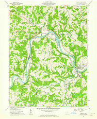
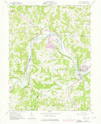
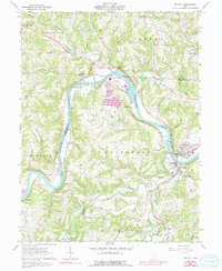
Editions of this 1961 Beverly Map
4 editions found
Other maps of this area

1902 · Parkersburg
USGS Topo · 1:62,500

1904 · Parkersburg
USGS Topo · 1:62,500

1904 · Chesterhill
USGS Topo · 1:62,500

1906 · Chesterhill
USGS Topo · 1:62,500

1909 · Caldwell
USGS Topo · 1:62,500

1910 · Mc Connelsville
USGS Topo · 1:62,500

1912 · Caldwell
USGS Topo · 1:62,500

1949 · Clarksburg
USGS Topo · 1:250,000

1956 · Clarksburg
USGS Topo · 1:250,000

1960 · Watertown
USGS Topo · 1:24,000