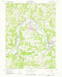
1961 Map of Beverly
USGS Topo · Published 1976About this map
The Muskingum River dominates this mid-century survey of the southeastern Ohio borderlands, snaking through a landscape of sharp ridges and deeply incised runs. The twin settlements of Beverly and Waterford serve as the primary hubs, where the Baltimore and Ohio railroad corridor tracks the river's eastern bank past industrial infrastructure like the powerplant and substation at Relief. These revisions, updated from 1960 aerial photography, highlight a transition toward modernized utilities while preserving the older rural fabric of the Congress Lands North.
Find a feature on this map
67 named features on this map. Tap any name to fly to it.
Don’t see what you’re looking for? This feature index may not catch every label — zoom into the map to look around manually.
Map Details
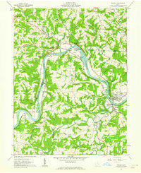
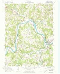
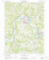
Editions of this 1961 Beverly Map
4 editions found
Other maps of this area

1902 · Parkersburg
USGS Topo · 1:62,500

1904 · Parkersburg
USGS Topo · 1:62,500

1904 · Chesterhill
USGS Topo · 1:62,500

1906 · Chesterhill
USGS Topo · 1:62,500

1909 · Caldwell
USGS Topo · 1:62,500

1910 · Mc Connelsville
USGS Topo · 1:62,500

1912 · Caldwell
USGS Topo · 1:62,500

1949 · Clarksburg
USGS Topo · 1:250,000

1956 · Clarksburg
USGS Topo · 1:250,000

1960 · Watertown
USGS Topo · 1:24,000