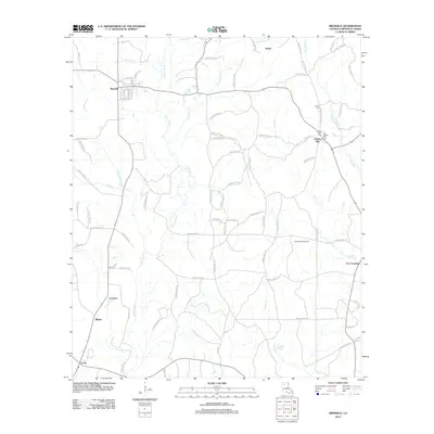
2012 Map of Bienville
USGS Topo · Published 2012About this map
Saline Bayou and its numerous tributaries, including Hurricane Cr and Edwards Mill Cr, carve a complex drainage pattern through this section of Bienville Parish. The town of Bienville serves as the primary local hub, with its street grid including Pine St and Maple St clearly defined. The landscape is a mix of small settlements and industrial activity, notably the Liberty Hill Gas Field in the eastern portion of the quadrangle.
Find a feature on this map
84 named features on this map. Tap any name to fly to it.
Don’t see what you’re looking for? This feature index may not catch every label — zoom into the map to look around manually.
Map Details
Editions of this 2012 Bienville Map
This is the sole edition of this map. No revisions or reprints were ever made.
Other maps of this area

1947 · Goldonna
USGS Topo · 1:62,500

1947 · Ashland
USGS Topo · 1:62,500

1947 · Bienville
USGS Topo · 1:62,500

1948 · Jamestown
USGS Topo · 1:62,500

1949 · Jamestown
USGS Topo · 1:62,500

1949 · Bienville
USGS Topo · 1:62,500

1955 · Shreveport
USGS Topo · 1:250,000

1956 · Shreveport
USGS Topo · 1:250,000

1957 · Goldonna
USGS Topo · 1:62,500

1957 · Ashland
USGS Topo · 1:62,500