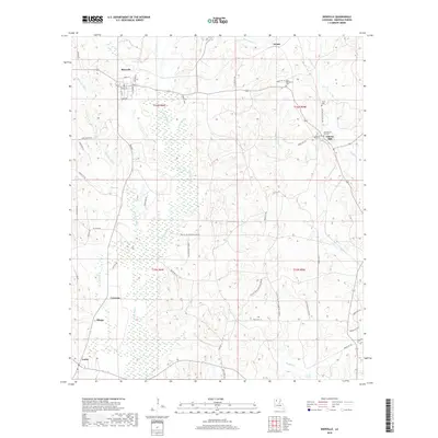
2018 Map of Bienville
USGS Topo · Published 2018About this map
The town of Bienville and its surrounding hill country define this landscape in north-central Louisiana. This survey details a rural network of small communities and family-associated landmarks, including Walsh in the north and the cluster of Liberty Hill, Old Liberty Hill Cem, and Liberty Hill Cem. The terrain is shaped by the wide basin of Saline Bayou, which flows southward through a landscape of dense wetlands and drainage systems like Pea Vine Cr and Edwards Mill Cr.
Find a feature on this map
60 named features on this map. Tap any name to fly to it.
Don’t see what you’re looking for? This feature index may not catch every label — zoom into the map to look around manually.
Map Details
Editions of this 2018 Bienville Map
This is the sole edition of this map. No revisions or reprints were ever made.
Other maps of this area

1947 · Goldonna
USGS Topo · 1:62,500

1947 · Ashland
USGS Topo · 1:62,500

1947 · Bienville
USGS Topo · 1:62,500

1948 · Jamestown
USGS Topo · 1:62,500

1949 · Jamestown
USGS Topo · 1:62,500

1949 · Bienville
USGS Topo · 1:62,500

1955 · Shreveport
USGS Topo · 1:250,000

1956 · Shreveport
USGS Topo · 1:250,000

1957 · Goldonna
USGS Topo · 1:62,500

1957 · Ashland
USGS Topo · 1:62,500