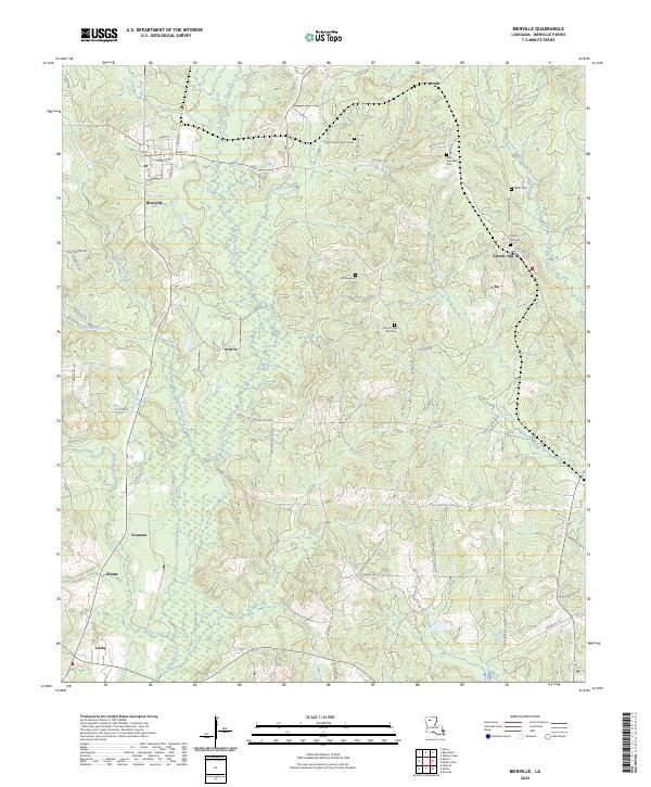
2024 Map of Bienville
USGS Topo · Published 2024About this map
Bienville sits at the center of this modern survey, showing the town's grid of streets including Main St, Coffield St, and Spruce St. The landscape is a network of small drainage systems and timbered tracts, defined by the winding course of Saline Bayou and its many tributaries like Hurricane Creek, Edwards Mill Creek, and Pea Vine Creek. The region's social history is preserved through numerous family and community burial grounds, such as Mount Zillah Church Cem and Old Ebenezer Cem.
Find a feature on this map
64 named features on this map. Tap any name to fly to it.
Don’t see what you’re looking for? This feature index may not catch every label — zoom into the map to look around manually.
Map Details
Editions of this 2024 Bienville Map
This is the sole edition of this map. No revisions or reprints were ever made.
Other maps of this area

1947 · Goldonna
USGS Topo · 1:62,500

1947 · Ashland
USGS Topo · 1:62,500

1947 · Bienville
USGS Topo · 1:62,500

1948 · Jamestown
USGS Topo · 1:62,500

1949 · Jamestown
USGS Topo · 1:62,500

1949 · Bienville
USGS Topo · 1:62,500

1955 · Shreveport
USGS Topo · 1:250,000

1956 · Shreveport
USGS Topo · 1:250,000

1957 · Goldonna
USGS Topo · 1:62,500

1957 · Ashland
USGS Topo · 1:62,500