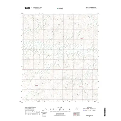
2018 Map of Big Delta A-2 NW
USGS Topo · Published 2018About this map
The S Fork Goodpaster River dominates this interior Alaska landscape, meandering through a broad valley floor characterized by extensive wetlands. This 2018 survey reveals a terrain of dramatic elevation shifts, where high ridges rise sharply from the river basin. Tributaries like White Cr in the northwest and Billy Steele Cr in the northeast carve deep drainages into the surrounding highlands. The map is defined by its lack of modern infrastructure, with no roads or buildings recorded, preserving a view of the remote Southeast Fairbanks Census Area. The land is legally organized by the Public Land Survey System, spanning portions of t8s r14e, t8s r15e, t9s r14e, and t9s r15e.
Find a feature on this map
7 named features on this map. Tap any name to fly to it.
Don’t see what you’re looking for? This feature index may not catch every label — zoom into the map to look around manually.
Map Details
Editions of this 2018 Big Delta A-2 NW Map
This is the sole edition of this map. No revisions or reprints were ever made.
Other maps of this area

1950 · Big Delta
USGS Topo · 1:250,000

1951 · Big Delta
USGS Topo · 1:250,000

1954 · Big Delta A-2
USGS Topo · 1:63,360

1955 · Big Delta A-3
USGS Topo · 1:63,360

1955 · Big Delta A-2
USGS Topo · 1:63,360

1958 · Big Delta B-3
USGS Topo · 1:63,360

1958 · Big Delta B-2
USGS Topo · 1:63,360

1958 · Big Delta
USGS Topo · 1:250,000
2016 · Big Delta B-3 SE
USGS Topo · 1:25,000
2016 · Big Delta A-3 NE
USGS Topo · 1:25,000