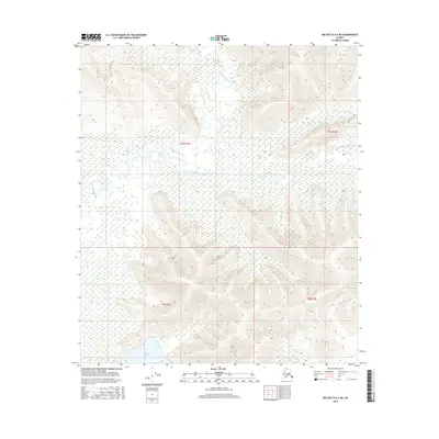
2016 Map of Big Delta A-3 NE
USGS Topo · Published 2016About this map
Volkmar Lake sits at the southern edge of this interior Alaskan landscape, providing a rare focal point in a region dominated by intricate river systems and wetland flats. The Goodpaster River meanders across the northern portion of the quadrangle, joined by the S Fork Goodpaster River and the smaller White Cr. The terrain alternates between low-lying riparian basins and higher ridgelines, illustrating the complex drainage patterns of the Unorganized Borough. This 2016 survey documents the untouched character of the wilderness within township boundaries such as t8s r13e and t9s r14e, where the lack of roads or permanent settlements emphasizes the dominance of the river networks over the landscape.
Find a feature on this map
8 named features on this map. Tap any name to fly to it.
Don’t see what you’re looking for? This feature index may not catch every label — zoom into the map to look around manually.
Map Details
Editions of this 2016 Big Delta A-3 NE Map
This is the sole edition of this map. No revisions or reprints were ever made.
Other maps of this area

1950 · Big Delta
USGS Topo · 1:250,000

1951 · Big Delta
USGS Topo · 1:250,000

1954 · Big Delta A-2
USGS Topo · 1:63,360

1955 · Big Delta A-3
USGS Topo · 1:63,360

1955 · Big Delta A-2
USGS Topo · 1:63,360

1958 · Big Delta B-3
USGS Topo · 1:63,360

1958 · Big Delta B-2
USGS Topo · 1:63,360

1958 · Big Delta
USGS Topo · 1:250,000
2016 · Big Delta B-3 SE
USGS Topo · 1:25,000
2016 · Big Delta A-3 NW
USGS Topo · 1:25,000