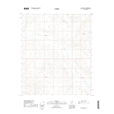
2018 Map of Big Delta B-1 NE
USGS Topo · Published 2018About this map
Goodpaster River and its tributaries define the remote landscape of this Southeast Fairbanks Census Area interior. The terrain is dominated by the winding path of Eisenmenger Fork, which flows through high-elevation drainage basins before meeting the primary river system. This 2018 survey reveals a wilderness area largely devoid of roads or permanent settlements, where the drainage patterns of Boulder Cr, Granite Cr, and Wolverine Cr illustrate the complex hydrology of the Alaska interior. The map focuses on the natural topography of the T5S R18E and T6S R19E townships, providing an essential record of water courses and elevation contours in a region where the geography is the primary landmark.
Find a feature on this map
9 named features on this map. Tap any name to fly to it.
Don’t see what you’re looking for? This feature index may not catch every label — zoom into the map to look around manually.
Map Details
Editions of this 2018 Big Delta B-1 NE Map
This is the sole edition of this map. No revisions or reprints were ever made.
Other maps of this area

1950 · Big Delta
USGS Topo · 1:250,000

1951 · Big Delta
USGS Topo · 1:250,000

1951 · Eagle
USGS Topo · 1:250,000

1956 · Eagle C-6
USGS Topo · 1:63,360

1956 · Eagle B-6
USGS Topo · 1:63,360

1957 · Eagle
USGS Topo · 1:250,000

1958 · Big Delta B-1
USGS Topo · 1:63,360

1958 · Big Delta C-1
USGS Topo · 1:63,360

1958 · Big Delta
USGS Topo · 1:250,000
2018 · Big Delta B-1 SW
USGS Topo · 1:25,000