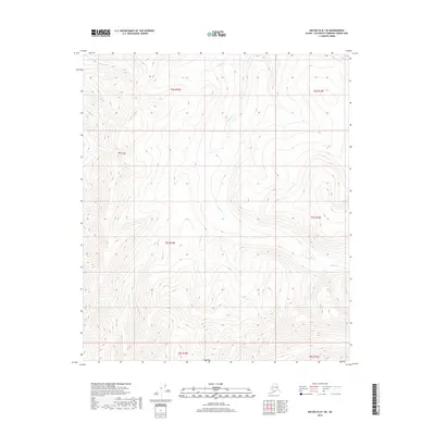
2018 Map of Big Delta B-1 SE
USGS Topo · Published 2018About this map
Black Mtn dominates the western portion of this high-altitude landscape in the Unorganized Borough, situated within the Tanana Valley watershed. This 2018 survey documents a region defined by its complex drainage patterns, where Divide Cr and Boulder Cr navigate the steep elevation changes. The presence of Antimony Cr in the northern reaches hints at the mineral-rich geology often associated with this part of Alaska, while other seasonal and perennial flows like Summit Cr and Johnson Cr further carve the terrain. The map provides a detailed view of the Public Land Survey System grid across portions of Townships 6, 7, and 8 South, offering a precise record of the land divisions in this interior Alaskan wilderness.
Find a feature on this map
13 named features on this map. Tap any name to fly to it.
Don’t see what you’re looking for? This feature index may not catch every label — zoom into the map to look around manually.
Map Details
Editions of this 2018 Big Delta B-1 SE Map
This is the sole edition of this map. No revisions or reprints were ever made.
Other maps of this area

1950 · Big Delta
USGS Topo · 1:250,000

1951 · Big Delta
USGS Topo · 1:250,000

1951 · Eagle
USGS Topo · 1:250,000

1955 · Big Delta A-1
USGS Topo · 1:63,360

1956 · Eagle A-6
USGS Topo · 1:63,360

1956 · Eagle B-6
USGS Topo · 1:63,360

1957 · Eagle
USGS Topo · 1:250,000

1958 · Big Delta B-1
USGS Topo · 1:63,360

1958 · Big Delta
USGS Topo · 1:250,000
2018 · Big Delta B-1 SW
USGS Topo · 1:25,000