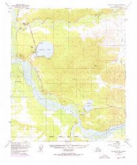
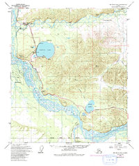
1949 Map of Big Delta B-6
USGS Topo · Published 1978About this map
Harding Lake and Birch Lake anchor this 1949 survey of the Alaskan interior, showing a landscape defined by braided waterways and the emerging infrastructure of the mid-20th century. The Tanana River sweeps across the southern portion of the quadrangle, joined by the Salcha River and Little Delta River. This edition includes critical 1970s updates shown in purple, marking the path of The Trans-Alaska Pipeline (Under Construction) as it parallels the Richardson Highway. Recreational and residential outposts like Aurora Lodge and Silver Fox Lodge appear alongside specialized infrastructure, including a landing strip, multiple gravel pits, and a military pipeline. The terrain is characterized by prominent landmarks such as Salcha Bluff and Flag Hill, while a Winter Trail offers a glimpse into seasonal transportation methods in the Fairbanks North Star Borough before modern road networks were fully realized.
Find a feature on this map
41 named features on this map. Tap any name to fly to it.
Don’t see what you’re looking for? This feature index may not catch every label — zoom into the map to look around manually.
Map Details
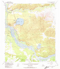
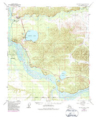
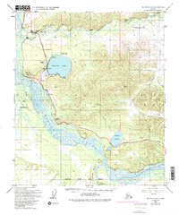
Editions of this 1949 Big Delta B-6 Map
6 editions found
Other maps of this area

1949 · Big Delta B-5
USGS Topo · 1:63,360

1949 · Big Delta B-6
USGS Topo · 1:63,360

1949 · Fairbanks C-1
USGS Topo · 1:63,360

1949 · Big Delta C-6
USGS Topo · 1:63,360

1949 · Big Delta A-6
USGS Topo · 1:63,360

1949 · Fairbanks A-1
USGS Topo · 1:63,360

1950 · Fairbanks
USGS Topo · 1:250,000

1950 · Big Delta
USGS Topo · 1:250,000

1950 · Big Delta A-5
USGS Topo · 1:63,360

1950 · Fairbanks C-1
USGS Topo · 1:63,360