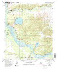
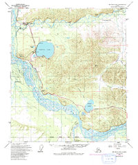
1949 Map of Big Delta B-6
USGS Topo · Published 1994About this map
The braided channels of the Tanana River and the Salcha River dominate this interior Alaska landscape, reflecting a geography shaped by glacial melt and seasonal shifts. The Richardson Highway serves as the primary corridor of travel, connecting early outposts and recreation sites like Aurora Lodge and the Silver Fox Lodge. Near the northern bluffs, the Salcha Bluff overlooks the river valley, while further south, the The Trans-Alaska Pipeline cuts a distinct path through the terrain, representing a later layer of industrial development added to the original 1949 survey. Large water bodies including Harding Lake and Birch Lake provide central landmarks for the surrounding Harding Lake State Rec Area. The map also captures the presence of the Fort Wainwright and Fort Greely Mil Res boundaries, underscoring the strategic military importance of the Tanana Valley during the mid-20th century.
Find a feature on this map
30 named features on this map. Tap any name to fly to it.
Don’t see what you’re looking for? This feature index may not catch every label — zoom into the map to look around manually.
Map Details
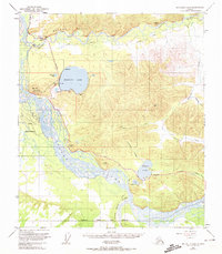
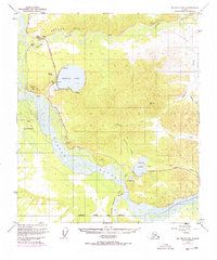
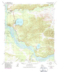
Editions of this 1949 Big Delta B-6 Map
6 editions found
Other maps of this area

1949 · Big Delta B-5
USGS Topo · 1:63,360

1949 · Big Delta B-6
USGS Topo · 1:63,360

1949 · Fairbanks C-1
USGS Topo · 1:63,360

1949 · Big Delta C-6
USGS Topo · 1:63,360

1949 · Big Delta A-6
USGS Topo · 1:63,360

1949 · Fairbanks A-1
USGS Topo · 1:63,360

1950 · Fairbanks
USGS Topo · 1:250,000

1950 · Big Delta
USGS Topo · 1:250,000

1950 · Big Delta A-5
USGS Topo · 1:63,360

1950 · Fairbanks C-1
USGS Topo · 1:63,360