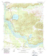
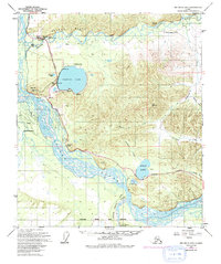
1949 Map of Big Delta B-6
USGS Topo · Published 1987About this map
Harding Lake and Birch Lake serve as the primary recreational anchors in this corridor of the Fairbanks North Star Borough. The landscape is dominated by the massive braided channels of the Tanana River and the lower reach of the Little Delta River, which carve through the Interior landscape. Grounded in the 1940s but updated with 1970s aerial photography, the map documents the critical infrastructure of the Alaskan interior, including the path of The Trans-Alaska Pipeline and the primary Richardson Highway.
Find a feature on this map
29 named features on this map. Tap any name to fly to it.
Don’t see what you’re looking for? This feature index may not catch every label — zoom into the map to look around manually.
Map Details
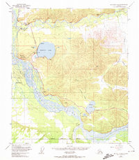
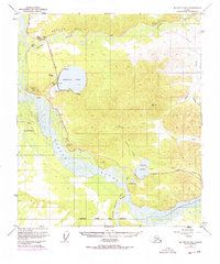
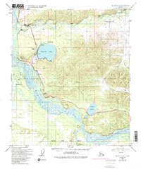
Editions of this 1949 Big Delta B-6 Map
6 editions found
Other maps of this area

1949 · Big Delta B-5
USGS Topo · 1:63,360

1949 · Big Delta B-6
USGS Topo · 1:63,360

1949 · Fairbanks C-1
USGS Topo · 1:63,360

1949 · Big Delta C-6
USGS Topo · 1:63,360

1949 · Big Delta A-6
USGS Topo · 1:63,360

1949 · Fairbanks A-1
USGS Topo · 1:63,360

1950 · Fairbanks
USGS Topo · 1:250,000

1950 · Big Delta
USGS Topo · 1:250,000

1950 · Big Delta A-5
USGS Topo · 1:63,360

1950 · Fairbanks C-1
USGS Topo · 1:63,360