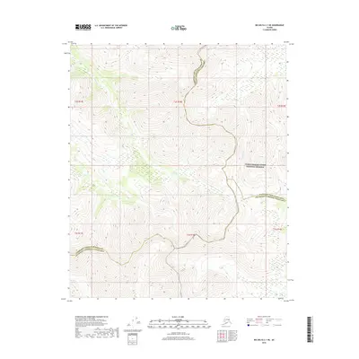
2018 Map of Big Delta C-1 NE
USGS Topo · Published 2018About this map
Yukon-Charley Rivers National Preserve encompasses the northeastern portion of this topographic sheet, marking a transition between the Charley River drainage and the surrounding mountain ridges. The terrain is defined by several significant drainages, including the west-flowing Paldo Cr and Stone Boy Cr, which carve through the high elevations of the Fairbanks North Star Borough and Yukon-Koyukuk Census Area. This 2018 survey documents a remote Interior Alaska landscape where human infrastructure is largely absent, focusing instead on the complex hydrography and natural boundaries of the region. Boundary lines for the Southeast Fairbanks Census Area meet here, illustrating the jurisdictional intersection of these large administrative districts. Researchers can observe the natural course of Slate Cr in the southern sections, providing a clear view of the untouched wilderness before it reaches more developed corridors.
Find a feature on this map
14 named features on this map. Tap any name to fly to it.
Don’t see what you’re looking for? This feature index may not catch every label — zoom into the map to look around manually.
Map Details
Editions of this 2018 Big Delta C-1 NE Map
This is the sole edition of this map. No revisions or reprints were ever made.
Other maps of this area

1950 · Big Delta
USGS Topo · 1:250,000

1951 · Big Delta
USGS Topo · 1:250,000

1951 · Eagle
USGS Topo · 1:250,000

1956 · Eagle C-6
USGS Topo · 1:63,360
1956 · Eagle D-6
USGS Topo · 1:63,360

1957 · Eagle
USGS Topo · 1:250,000

1958 · Big Delta D-1
USGS Topo · 1:63,360

1958 · Big Delta C-1
USGS Topo · 1:63,360

1958 · Big Delta
USGS Topo · 1:250,000
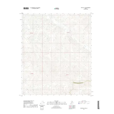
2018 · Big Delta C-1 NW
USGS Topo · 1:25,000