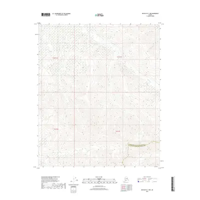
2018 Map of Big Delta C-1 NW
USGS Topo · Published 2018About this map
Stone Boy Cr winds through this interior Alaskan wilderness, following a path through high ridges and drainage basins. The landscape is defined by its topographic complexity, where the Fairbanks North Star Borough Southeast Fairbanks Census Area boundary cuts across the southeastern portion of the terrain. To the south, Porcupine Cr and Slate Cr mark distinct drainage systems, providing a look at the natural watercourses that have historically shaped local travel and surveying efforts in this part of the Unorganized Borough. This 2018 survey emphasizes the relief of the land, showing the intricate contour patterns that define the region's watersheds and ridgelines prior to any significant infrastructure development.
Find a feature on this map
8 named features on this map. Tap any name to fly to it.
Don’t see what you’re looking for? This feature index may not catch every label — zoom into the map to look around manually.
Map Details
Editions of this 2018 Big Delta C-1 NW Map
This is the sole edition of this map. No revisions or reprints were ever made.
Other maps of this area

1950 · Big Delta
USGS Topo · 1:250,000

1951 · Big Delta
USGS Topo · 1:250,000

1958 · Big Delta D-2
USGS Topo · 1:63,360

1958 · Big Delta D-1
USGS Topo · 1:63,360

1958 · Big Delta C-2
USGS Topo · 1:63,360

1958 · Big Delta C-1
USGS Topo · 1:63,360

1958 · Big Delta
USGS Topo · 1:250,000
2018 · Big Delta C-1 SE
USGS Topo · 1:25,000
2018 · Big Delta C-2 NE
USGS Topo · 1:25,000
2018 · Big Delta C-2 SE
USGS Topo · 1:25,000