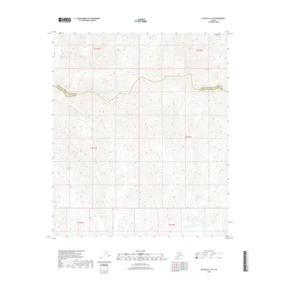
2018 Map of Big Delta C-2 SE
USGS Topo · Published 2018About this map
Goodpaster River meanders through the southern portion of this interior Alaskan landscape, providing a primary hydrological corridor in an otherwise high-elevation wilderness. The terrain is defined by the significant drainage of Glacier Cr, which flows southward through the western half of the map. This 2018 survey illustrates the administrative boundary between the Fairbanks North Star Borough and Southeast Fairbanks Census Area, which cuts across the high ridges in the northern sections. The contour lines reveal a complex network of ridgelines and valleys, typical of the subarctic uplands where water features like the Goodpaster River serve as critical landmarks for navigation and land management.
Find a feature on this map
9 named features on this map. Tap any name to fly to it.
Don’t see what you’re looking for? This feature index may not catch every label — zoom into the map to look around manually.
Map Details
Editions of this 2018 Big Delta C-2 SE Map
This is the sole edition of this map. No revisions or reprints were ever made.
Other maps of this area

1950 · Big Delta
USGS Topo · 1:250,000

1951 · Big Delta
USGS Topo · 1:250,000

1958 · Big Delta B-2
USGS Topo · 1:63,360

1958 · Big Delta B-1
USGS Topo · 1:63,360

1958 · Big Delta C-2
USGS Topo · 1:63,360

1958 · Big Delta C-1
USGS Topo · 1:63,360

1958 · Big Delta
USGS Topo · 1:250,000
2018 · Big Delta C-1 NW
USGS Topo · 1:25,000
2018 · Big Delta C-2 NE
USGS Topo · 1:25,000
2018 · Big Delta C-2 NW
USGS Topo · 1:25,000