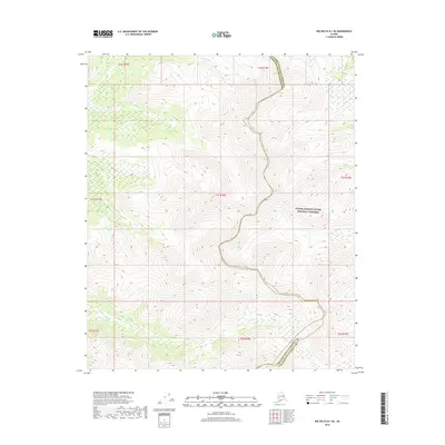
2018 Map of Big Delta D-1 SE
USGS Topo · Published 2018About this map
Yukon-Charley Rivers National Preserve covers the eastern portion of this high-elevation Alaskan terrain, where the landscape is defined by its isolation and dramatic relief. The boundary between the Fairbanks North Star Borough and Yukon-Koyukuk Census Area snakes through the center of the sheet, tracing the high ridges of the interior mountains. Near the northern edge, Serpentine Cr flows through a narrow drainage, one of the few named watercourses in this roadless wilderness. The map is a study in high-latitude topography, showing a complex network of ridgelines and summits that define the transition between different administrative districts in the Alaskan interior. Without any established roads or settlements, the map emphasizes the raw physical geography and the vast protected lands that characterize this part of the state.
Find a feature on this map
11 named features on this map. Tap any name to fly to it.
Don’t see what you’re looking for? This feature index may not catch every label — zoom into the map to look around manually.
Map Details
Editions of this 2018 Big Delta D-1 SE Map
This is the sole edition of this map. No revisions or reprints were ever made.
Other maps of this area

1950 · Big Delta
USGS Topo · 1:250,000

1951 · Big Delta
USGS Topo · 1:250,000

1951 · Eagle
USGS Topo · 1:250,000

1956 · Eagle C-6
USGS Topo · 1:63,360
1956 · Eagle D-6
USGS Topo · 1:63,360

1957 · Eagle
USGS Topo · 1:250,000

1958 · Big Delta D-1
USGS Topo · 1:63,360

1958 · Big Delta C-1
USGS Topo · 1:63,360

1958 · Big Delta
USGS Topo · 1:250,000
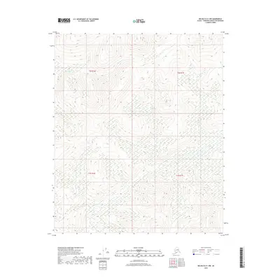
2018 · Big Delta D-1 NW
USGS Topo · 1:25,000