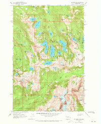
1965 Map of Big Snow Mtn
USGS Topo · Published 1971About this map
Snoqualmie National Forest and Wenatchee National Forest meet along a dramatic divide defined by the King Co Kittitas Co boundary. The landscape is dominated by a complex network of alpine water bodies, including the expansive Lake Dorothy and the clustered Tank Lakes. The topography reveals the intricate drainage patterns of the Cascade Range, with numerous named peaks such as Big Snow Mtn and Summit Chief Mtn serving as anchors for the surrounding wilderness.
Find a feature on this map
65 named features on this map. Tap any name to fly to it.
Don’t see what you’re looking for? This feature index may not catch every label — zoom into the map to look around manually.
Map Details
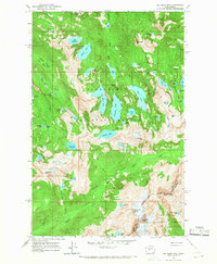
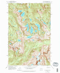
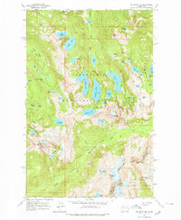
Editions of this 1965 Big Snow Mtn Map
4 editions found
Other maps of this area

1901 · Snoqualmie Pass
USGS Topo · 1:125,000

1902 · Skykomish
USGS Topo · 1:125,000

1903 · Snoqualmie
USGS Topo · 1:125,000

1905 · Skykomish
USGS Topo · 1:125,000

1957 · Wenatchee
USGS Topo · 1:250,000

1961 · Snoqualmie Pass
USGS Topo · 1:62,500

1961 · Kachess Lake
USGS Topo · 1:62,500

1965 · Grotto
USGS Topo · 1:24,000

1965 · Mount Daniel
USGS Topo · 1:24,000

1965 · Skykomish
USGS Topo · 1:24,000