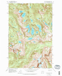
1965 Map of Big Snow Mtn
USGS Topo · Published 1979About this map
Snoqualmie National Forest dominates this mid-1960s survey, revealing a landscape defined by an extraordinary concentration of alpine water bodies and high-elevation summits. The terrain is structured by deep glacial basins, most notably the Necklace Valley to the east and the expansive basin containing Big Heart Lake and Angeline Lake at the center. These high-country lakes are connected by primitive paths like the West Fork Foss River Trail and the Necklace Valley Trail, indicating a period when these backcountry reaches were primarily accessed for recreation and conservation rather than industrial extraction. Prominent peaks such as Big Snow Mtn and the jagged Chimney Rock mark the drainage divides between the King and Kittitas county lines. The presence of Usmm 2 near Hardscrabble Lakes points to the early surveying efforts required to monument this complex topography.
Find a feature on this map
64 named features on this map. Tap any name to fly to it.
Don’t see what you’re looking for? This feature index may not catch every label — zoom into the map to look around manually.
Map Details
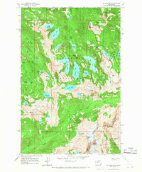
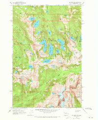
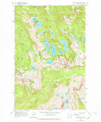
Editions of this 1965 Big Snow Mtn Map
4 editions found
Other maps of this area

1901 · Snoqualmie Pass
USGS Topo · 1:125,000

1902 · Skykomish
USGS Topo · 1:125,000

1903 · Snoqualmie
USGS Topo · 1:125,000

1905 · Skykomish
USGS Topo · 1:125,000

1957 · Wenatchee
USGS Topo · 1:250,000

1961 · Snoqualmie Pass
USGS Topo · 1:62,500

1961 · Kachess Lake
USGS Topo · 1:62,500

1965 · Grotto
USGS Topo · 1:24,000

1965 · Mount Daniel
USGS Topo · 1:24,000

1965 · Skykomish
USGS Topo · 1:24,000