
1959 Map of Billingsley
USGS Topo · Published 1960About this map
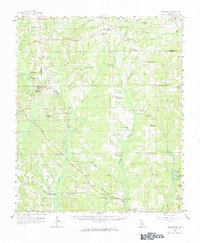
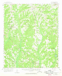
Billingsley serves as a central hub in this late 1950s survey of the Alabama landscape, where the Gulf and Ohio railroad corridor dictates the pattern of rural development. The map reveals a dense network of small communities and crossroads such as Old Kingston, Poseys Crossroads, and Vida Junction, which were often anchored by local institutions like Bethlehem Ch or Pentecost Sch. This era predates significant modern highway expansion, showing a territory defined by its watercourses—including Little Mulberry Creek and Autauga Creek—and the family-named landmarks that grounded local genealogy. The distribution of numerous small burial sites, such as Jones Cem and Carter Cem, alongside several Gravel Pit operations, highlights a transition between traditional agrarian life and early 20th-century industrial extraction. The topography is dotted with high points like Mt Sinai and Mt Zion Ch, which offered vantage points over the creek-carved terrain of the Chilton and Autauga county line.
Find a feature on this map
73 named features on this map. Tap any name to fly to it.
Don’t see what you’re looking for? This feature index may not catch every label — zoom into the map to look around manually.
Map Details
Editions of this 1959 Billingsley Map
3 editions found
Other maps of this area

1891 · Clanton
USGS Topo · 1:125,000

1901 · Wetumpka
USGS Topo · 1:125,000

1903 · Wetumpka
USGS Topo · 1:125,000

1927 · Montgomery
USGS Topo · 1:48,000

1930 · Montgomery
USGS Topo · 1:62,500

1953 · Montgomery
USGS Topo · 1:250,000

1956 · Montgomery
USGS Topo · 1:250,000

1957 · Montgomery
USGS Topo · 1:250,000

1957 · Autaugaville
USGS Topo · 1:62,500

1957 · Benton
USGS Topo · 1:62,500