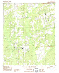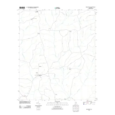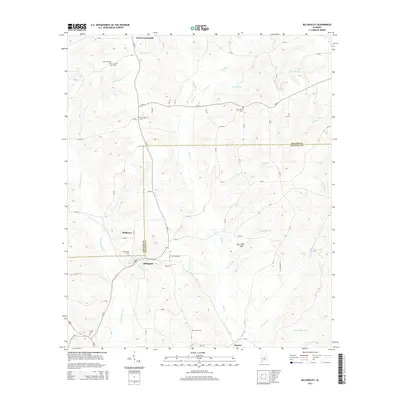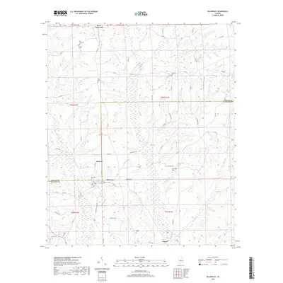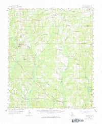
1959 Map of Billingsley
USGS Topo · Published 1964About this map
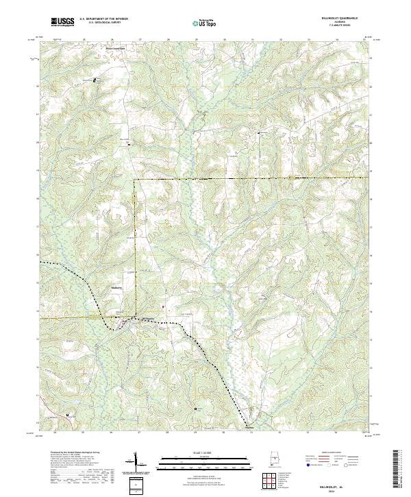
The Gulf Mobile And Ohio railroad anchors the central corridor of this Autauga and Chilton County landscape, connecting rural hubs like Billingsley and Vida Junction. The region is defined by a dense network of watercourses, including the southward-flowing Mulberry Creek and Autauga Creek, which carve through the terrain between ridges like Indian Grave. Local community life in the late 1950s is remarkably legible through its numerous rural institutions, from Pentecost Sch and Friendship Sch to a significant cluster of houses of worship such as New Prospect Ch, Zions Rest Ch, and Bethlehem Ch.
Find a feature on this map
80 named features on this map. Tap any name to fly to it.
Don’t see what you’re looking for? This feature index may not catch every label — zoom into the map to look around manually.
Map Details
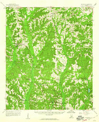
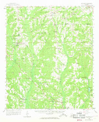
Editions of this 1959 Billingsley Map
3 editions found
Historical Maps of Prattville Through Time
7 maps found