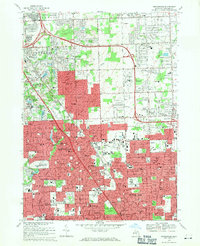
1968 Map of Birmingham
USGS Topo · Published 1971About this map
Birmingham and the surrounding suburbs of Royal Oak and Troy are captured during a period of significant suburban infill and residential growth. This 1968 field-checked survey reveals the maturing landscape of northern Metro Detroit, where former estates and farmsteads have given way to dense residential blocks and public institutions. The Grand Trunk Western railroad corridor remains a central spine through the region, passing just east of Quarton Lake. The map highlights the area's social infrastructure, from established spiritual centers like the Shrine of the Little Flower Sch and St Augustine Ch to numerous educational facilities such as Seaholm High Sch and Leonard Sch. Large specialized land uses are prominent, including the sprawling White Chapel Cemetery and Roseland Park Cemetery, alongside aviation history at the now-redeveloped Berz Airport.
Find a feature on this map
90 named features on this map. Tap any name to fly to it.
Don’t see what you’re looking for? This feature index may not catch every label — zoom into the map to look around manually.
Map Details
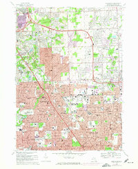
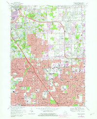
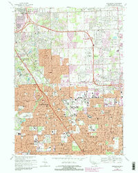
Editions of this 1968 Birmingham Map
4 editions found
Other maps of this area

1905 · Wayne
USGS Topo · 1:62,500

1905 · Detroit
USGS Topo · 1:62,500

1907 · Pontiac
USGS Topo · 1:62,500

1908 · Rochester
USGS Topo · 1:62,500

1912 · Wayne
USGS Topo · 1:62,500

1918 · Detroit
USGS Topo · 1:62,500

1924 · Detroit
USGS Topo · 1:62,500

1934 · Detroit
USGS Topo · 1:62,500

1936 · Warren
USGS Topo · 1:31,680

1936 · Birmingham
USGS Topo · 1:31,680