
1968 Map of Birmingham
USGS Topo · Published 1981About this map
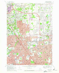
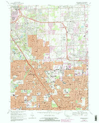
The River Rouge winds through this detailed suburban portrait of Oakland County, Michigan, as it transitioned through the late 1960s into the early 1980s. The landscape is defined by the rapid expansion of residential grids and educational campuses like Cranbrook Sch and Kingswood Sch. Significant land use is dedicated to sprawling commemorative and recreational sites, including the massive White Chapel Cemetery, Acadia Park Cemetery, and the Sylvan Glen Golf Course. Transport networks are central to the area's character, with the Grand Trunk Western RR slicing diagonally through Birmingham and Royal Oak, while the Troy-Oakland Airport serves the growing community in Troy. This edition highlights the intensifying urbanization, using purple revisions to show new developments around established landmarks like Beaumont Hospital and the Shrine of the Little Flower Sch.
Find a feature on this map
128 named features on this map. Tap any name to fly to it.
Don’t see what you’re looking for? This feature index may not catch every label — zoom into the map to look around manually.
Map Details
Editions of this 1968 Birmingham Map
4 editions found

Other maps of this area

1905 · Wayne
USGS Topo · 1:62,500

1905 · Detroit
USGS Topo · 1:62,500

1907 · Pontiac
USGS Topo · 1:62,500

1908 · Rochester
USGS Topo · 1:62,500

1912 · Wayne
USGS Topo · 1:62,500

1918 · Detroit
USGS Topo · 1:62,500

1924 · Detroit
USGS Topo · 1:62,500

1934 · Detroit
USGS Topo · 1:62,500

1936 · Warren
USGS Topo · 1:31,680

1936 · Birmingham
USGS Topo · 1:31,680