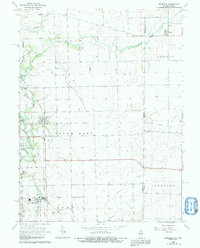
1964 Map of Bismarck
USGS Topo · Published 1991About this map
Bismarck and the surrounding township of South Ross are central to this mid-century survey of the Illinois-Indiana borderlands. The landscape is defined by the drainage basins of the Fork Vermilion River and Stony Creek, where the local economy and community structure are reflected in the presence of the Township High Sch and multiple rural burial grounds such as Miller Cem and Rose Cem. An Old Railroad Grade cuts across the northern reaches near Alvin, marking the evolution of transportation in Vermilion County. The transition into Indiana is noted by the village of Pence in Jordan township, where the grid of field lines and property boundaries meets the winding course of the Middle Branch Jordan Creek. This map illustrates the intersection of rail history and agrarian settlement, featuring landmarks like Barlow Park and Bethel Cem that anchor the local heritage.
Find a feature on this map
23 named features on this map. Tap any name to fly to it.
Don’t see what you’re looking for? This feature index may not catch every label — zoom into the map to look around manually.
Map Details
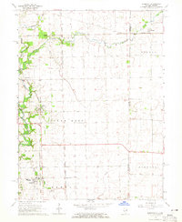
Editions of this 1964 Bismarck Map
2 editions found
Other maps of this area

1899 · Danville
USGS Topo · 1:62,500

1900 · Danville
USGS Topo · 1:62,500

1933 · Hoopeston
USGS Topo · 1:48,000

1938 · Hoopeston
USGS Topo · 1:62,500

1948 · Danville NW
USGS Topo · 1:24,000

1950 · Danville NW
USGS Topo · 1:24,000

1950 · Danville NE
USGS Topo · 1:24,000

1951 · Danville NE
USGS Topo · 1:24,000

1953 · Danville
USGS Topo · 1:250,000

1955 · Danville
USGS Topo · 1:250,000