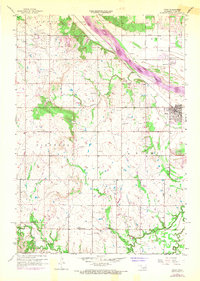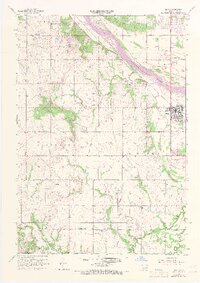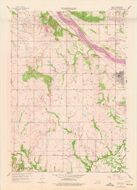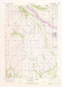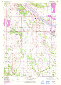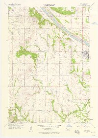
1957 Map of Bixby
USGS Topo · Published 1958About this map
Arkansas River bottomlands and the burgeoning oil fields of the late 1950s define this landscape south of Tulsa. The town of Bixby is shown in detail, situated near the riverbanks where the Midland Valley railroad and highway networks converge. This era captures the transition from a purely agricultural river valley to an industrial hub, evidenced by the dense clusters of oil wells, oil tanks, and a dedicated oil field stretching toward Glenpool. Local heritage is anchored by rural institutions like Liberty Sch and several country churches, including Shellenbarger Ch and Stirling Ch. The survey also documents the natural drainage of the region via Duck Creek, Snake Creek, and Posey Creek, providing a clear view of the topography before significant suburban expansion altered the drainage patterns and land use of the Tulsa-Okmulgee county line area.
Find a feature on this map
24 named features on this map. Tap any name to fly to it.
Don’t see what you’re looking for? This feature index may not catch every label — zoom into the map to look around manually.
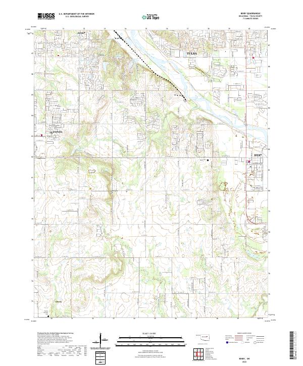
Map Details
Editions of this 1957 Bixby Map
6 editions found