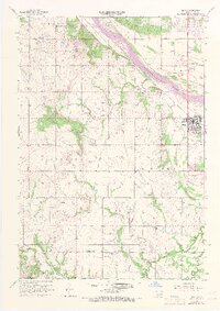
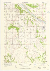
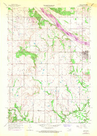
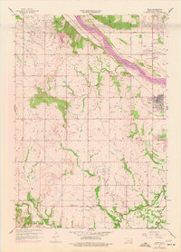
1957 Map of Bixby
USGS Topo · Published 1968About this map
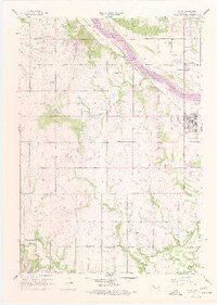
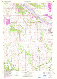
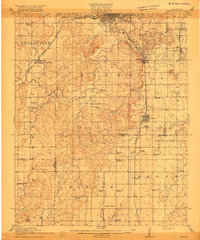
The Arkansas River corridor defines the landscape of this survey, which captures the rural character and emerging industrial footprint south of Tulsa. The town of Bixby is positioned along the northern bank, while the petroleum heritage of the region is evident in the dense clusters of Oil Wells and Oil Tanks scattered through the Glenpool area. A distinct transition between the alluvial river valley and the uplands is marked by Skyline Park, providing a topographical anchor for the surrounding agricultural and industrial activities.
Find a feature on this map
23 named features on this map. Tap any name to fly to it.
Don’t see what you’re looking for? This feature index may not catch every label — zoom into the map to look around manually.
Map Details
Editions of this 1957 Bixby Map
6 editions found
Other maps of this area

1896 · Okmulgee
USGS Topo · 1:125,000

1900 · Okmulgee
USGS Topo · 1:125,000

1901 · Claremore
USGS Topo · 1:125,000

1901 · Nuyaka
USGS Topo · 1:125,000

1912 · Hominy
USGS Topo · 1:125,000

1914 · Kiefer
USGS Topo · 1:62,500

1914 · Claremore
USGS Topo · 1:125,000

1915 · Hominy
USGS Topo · 1:125,000
1916 · Kiefer
USGS Topo · 1:62,500

1916 · Claremore
USGS Topo · 1:125,000