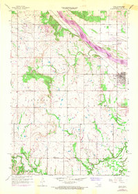
1957 Map of Bixby
USGS Topo · Published 1968About this map
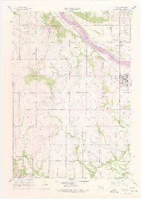
The Arkansas River corridor defines this portion of the Tulsa Metropolitan Area, where the water flows alongside the Texas and Pacific railroad line. South of the river, the settlement of Bixby is anchored by community landmarks including Shellenbarger Ch, Riverview Ch, and the Bixby Cem. The landscape reflects a mid-century period of resource extraction and rural education, evidenced by the expansive Oil Field and a scattered network of country school sites like Liberty Sch.
Find a feature on this map
23 named features on this map. Tap any name to fly to it.
Don’t see what you’re looking for? This feature index may not catch every label — zoom into the map to look around manually.
Map Details
Editions of this 1957 Bixby Map
6 editions found
Other maps of this area

1896 · Okmulgee
USGS Topo · 1:125,000

1900 · Okmulgee
USGS Topo · 1:125,000

1901 · Claremore
USGS Topo · 1:125,000

1901 · Nuyaka
USGS Topo · 1:125,000

1912 · Hominy
USGS Topo · 1:125,000

1914 · Kiefer
USGS Topo · 1:62,500

1914 · Claremore
USGS Topo · 1:125,000

1915 · Hominy
USGS Topo · 1:125,000

1916 · Kiefer
USGS Topo · 1:62,500

1916 · Claremore
USGS Topo · 1:125,000