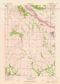
1957 Map of Bixby
USGS Topo · Published 1977About this map
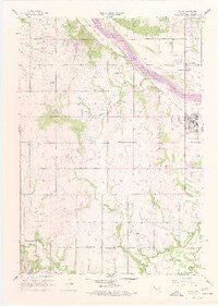
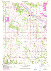
The Arkansas River serves as the dominant geographic feature of this mid-century Oklahoma survey, defining the northeastern boundary of Bixby. The landscape is heavily marked by the region's petroleum history, with an extensive Oil Field and the Tiger Tank Farm situated near Glenpool. This industrial footprint is interspersed with rural community anchors like Liberty Sch and several local congregations, including Duck Creek Ch and Shellenbarger Ch.
Find a feature on this map
32 named features on this map. Tap any name to fly to it.
Don’t see what you’re looking for? This feature index may not catch every label — zoom into the map to look around manually.
Map Details
Editions of this 1957 Bixby Map
6 editions found
Other maps of this area

1896 · Okmulgee
USGS Topo · 1:125,000

1900 · Okmulgee
USGS Topo · 1:125,000

1901 · Claremore
USGS Topo · 1:125,000

1901 · Nuyaka
USGS Topo · 1:125,000

1912 · Hominy
USGS Topo · 1:125,000

1914 · Kiefer
USGS Topo · 1:62,500

1914 · Claremore
USGS Topo · 1:125,000

1915 · Hominy
USGS Topo · 1:125,000

1916 · Kiefer
USGS Topo · 1:62,500

1916 · Claremore
USGS Topo · 1:125,000